Monuments Board of the Slovak Republic
GIS for the “Monument Information System (PAMIS)” Project
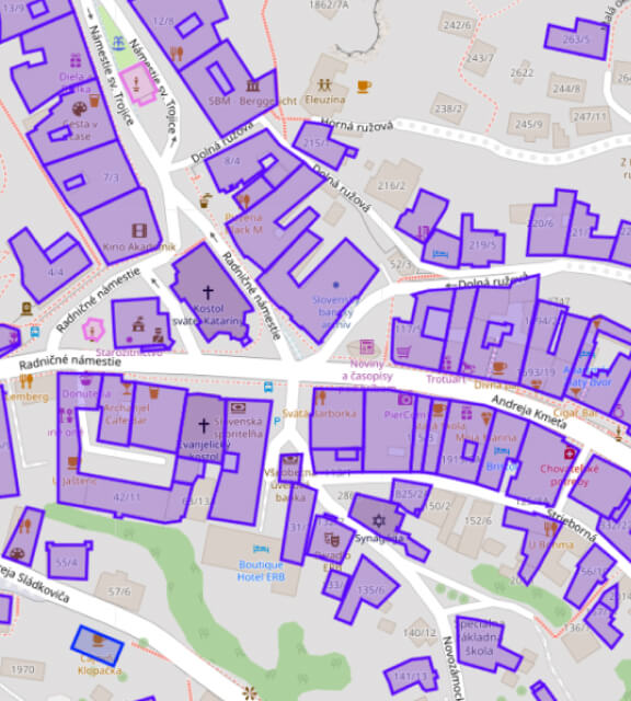
The GIS module enables the collection, processing, and publication of spatial information about sites and objects registered by the Monuments Board of the Slovak Republic, including archaeological locations. The data is utilized both within the internal application environment and the public portal, including the publication of map layers in compliance with the EU INSPIRE Directive.
The solution also included QGIS projects for updating spatial data and the development of the PAMISarcheo plugin.



Veolia Slovakia and Central Slovak Water Operations Company
GT NET – Automation of Utility Network Clearance Statements
The system simplifies the application process for applicants and the statement issuance process for utility network operators. It introduces transparent management of applications and statements, enables fast payment processing for paid requests, and automates selected statement issuance activities.
The solution uses web mapping services from existing GIS systems and can also directly import utility network data.

Regulatory Authority for Electronic Communications and Postal Services
GIS for the “Monitoring System for Regulation and State Supervision (MSRŠD)” Project
The GIS module supports the collection, processing, and analysis of spatial data for both internal and public portals. The system publishes millions of records related to internet coverage across Slovakia, including address-level data and 100 × 100 m grid cells. GIS technologies are used throughout the processing and publication of spatial information within the mapping module.
The reporting subsystem supports large-scale tabular datasets, including radio frequency measurements and spectrum licensing information, while integrating GIS and reporting functionalities.
Central Slovak Water Operations Company
MobGIS Mobile Application
Development and delivery of a field data collection application for standard mobile devices. The application enables users to complete forms, capture photographs, record GPS coordinates, and create audio recordings. All collected information is linked to specific assets and can subsequently be exported into GIS systems.
The solution is suitable for collecting information about infrastructure assets, technologies, network failures, service connections, buildings, and other facilities.


State Geological Institute
Geocoding
Address verification and comparison of address records against reference databases of municipalities, postal codes, streets, and building numbers. Consolidation of non-uniform address data through iterative automated and manual validation and correction processes. Completion of missing address information for individual consolidated records. Assignment of XY coordinates for map-based localization through geocoding functionality. Records are geocoded at different levels depending on data quality and precision, including exact address points, street centerlines, municipal districts, and other location levels.
Central Slovak Water Operations Company
Collection and Processing of Spatial Data for Water Utility Assets
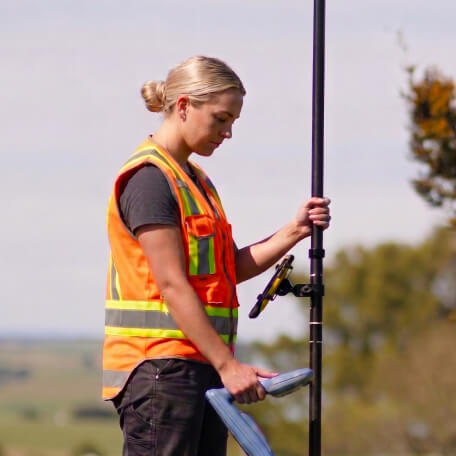
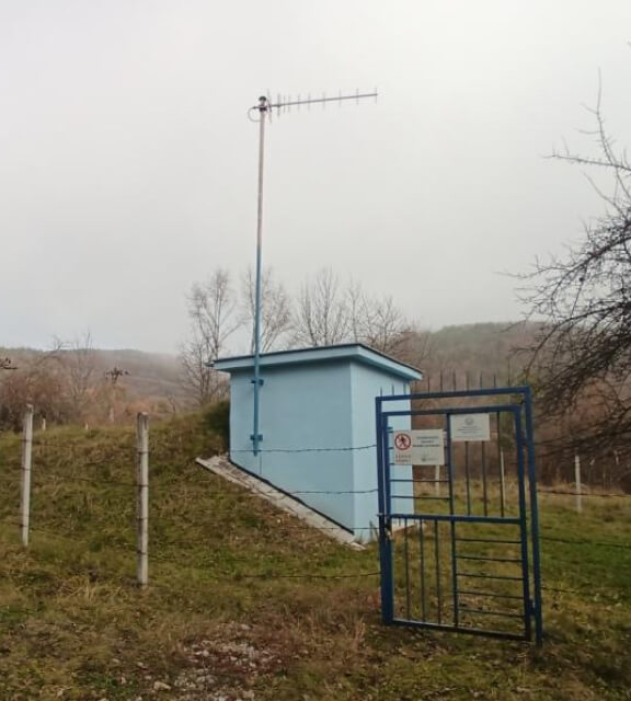
Provision of professional GPS-based data collection services for the development of GIS spatial databases. The project included the collection of data related to network failures, water sources, and other thematic water utility infrastructure assets.


City of Banská Bystrica
Road Infrastructure Asset Register
Collection and processing of road infrastructure inventory data for the City of Banská Bystrica. The project combined terrestrial surveying methods (using GNSS geodetic systems and total stations), visual inspections, photogrammetric methods based on high-resolution imagery, and laser scanning technologies.

Dionýz Štúr State Geological Institute
Reporting System
Design and development of a reporting services subsystem.